Services

We Fly Everywhere

Buraq is serving Pakistan since 2019 in strategic and multiple industrial domains ranging from defence, infrastructure to agriculture and energy.

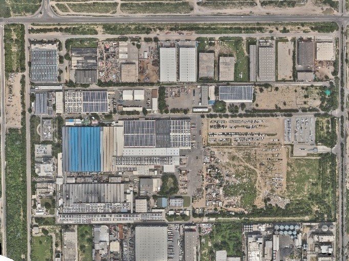
drone aerial mapping
Aerial Mapping & Surveying

Provides high-resolution geo-spatial data for large areas, reducing time and cost. Facilitates accurate topographical analysis for infrastructure planning and development.

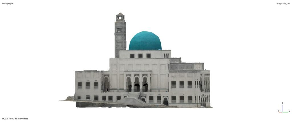
digital twin using drone
Asset Digitization

Enhances asset management by converting physical records into accessible digital formats.

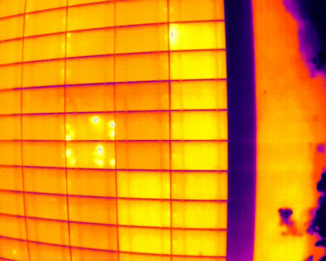
solar panels hotspot and string fault
Thermal Inspection

Identifies heat anomalies for preventive maintenance in electrical and mechanical systems. When combined with hi-res RGB images, it gets easier to identify and classify cell-level issues.

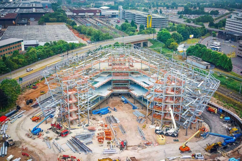
progress onitoring using drone imagery
Progress Monitoring

Offers real-time visual updates for streamlined project management and stakeholder communication. Detects discrepancies early, ensuring adherence to schedules and budgets.

Why Buraq?

Buraq was founded in Norway by the passionate team of season professionals who wanted to give back to Pakistan; Buraq is merely established on the following principles

always-safe hazardless operations
precise and accurate data provision
low cost solution that also saves time

What You Get

We pride ourselves in providing the unparalleled drone services in Pakistan

we provide detailed reports that are easy to comprehend
our as-built vs as-designed analysis is a great way of auditing
we have been able to achieve sub-centimeter accuracy horizontally
the GSD values we get are under 1 cm as compared to 30 cm from satellite imagery